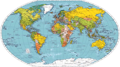
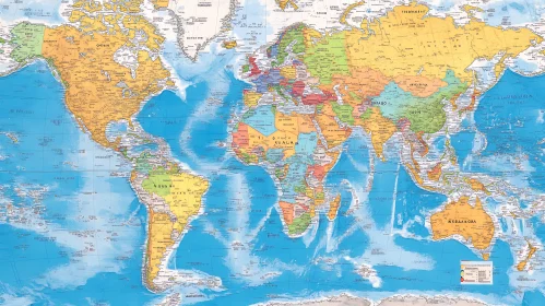
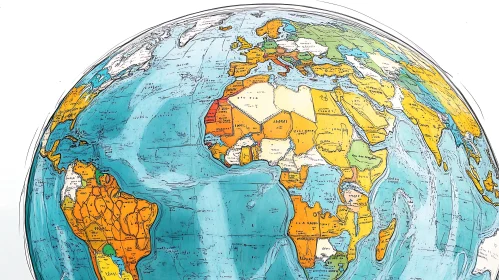
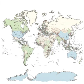
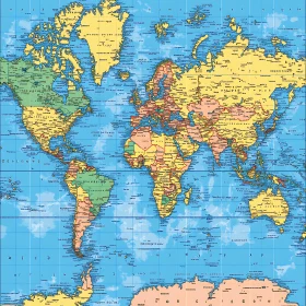
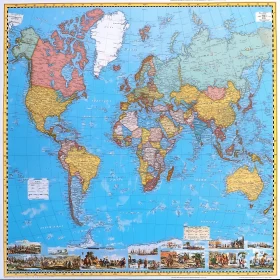
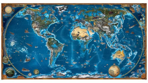
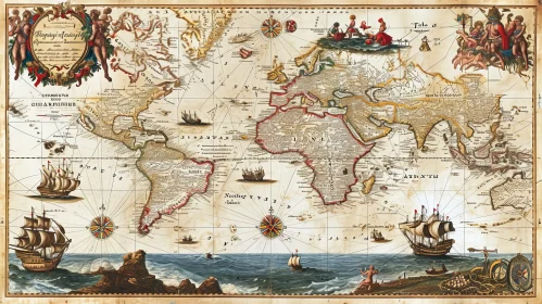
Find Total 262 high quality AI Images Geographical World Map with Labels Colorful Earth Illustration Surrounded by Foliage Earth with Continents and Oceans Political World Map with Geographic Features Comprehensive World Map with Political Boundaries World Map Showing Political Boundaries and Geographic Features World Map Highlighting Continents and Oceans Old-Style Illustrated Map of the World Geographic World Map with Continents and Oceans Illustrated View of Earth in Space Comprehensive World Map Comprehensive Political World Map Comprehensive Geographic World Map Comprehensive World Atlas Colorful World Map Showing Countries and Borders Comprehensive Northern Hemisphere World Map 3D Globe Highlighting Earth's Geography Colorful Concentric World Atlas Illustrated World Map with Geographic Details Comprehensive World Map with Country Names and Borders Vintage Illustrated World Map Historically Themed Map of the Americas and Surrounding Oceans Sculpted Hand Holding Detailed Globe with Americas Sunrise Over Earth Continent View World Map with Country Names and Borders Educational World Map Geographical World Map with Country Borders Global Map with Borders and Regions Illustrated World Map Featuring Continents and Countries Comprehensive World Map Featuring Continents and Major Nations Geographical World Map with Continents and Oceans Global Political Map with Labeled Countries Colorful World Map Highlighting Countries Geographical Map of the World Vintage World Map with Compass Rose and Legend Nations of the World Map Geographical Map of the World Intricate Global Map with Annotated Geography Colorful Continental Map with Historical Scenes Comprehensive World Map with Geopolitical Boundaries World Map Highlighting Political Boundaries Geographical World Map Highlighting Countries in Green Beautiful Blue Planet Earth World Atlas Map with Countries and Cities Classic World Map of Continents and Countries Comprehensive World Map with Country Borders and Capitals Atlas of the World with Labeled Countries North and South America Political Map Colorful World Map Displaying Political Boundaries Blue Planet Displaying Continents and Oceans Artistic View of Earth with Detailed Continents Africa Political Map with Geographic Landmarks Hand-Drawn Globe with North and South America Hand-Drawn Planet Earth with Americas Artistic Globe Illustration with Detailed Continents Blue and Green Globe on Table | Abstract Art Stunning View of Earth at Night: A Captivating Display of Human Activity Thoughtful Woman Holding Earth Globe - Abstract Art Three-Dimensional Earth Surface Representation | Atlantic Ocean Centered Antique World Map - Detailed Illustration of Continents and Oceans Intricate Vintage World Map Centered on Atlantic Ocean Detailed Relief Map of a Fictional Fantasy World Explore a Captivating Map of a Fictional World Antique World Map - Mercator Projection | Exploring the Continents and Oceans 1 2 3 of 3