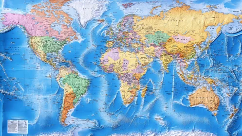
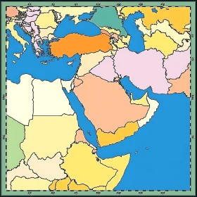
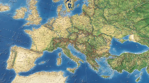
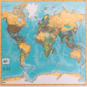
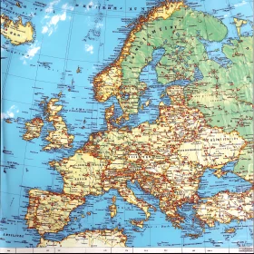
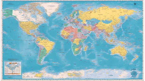
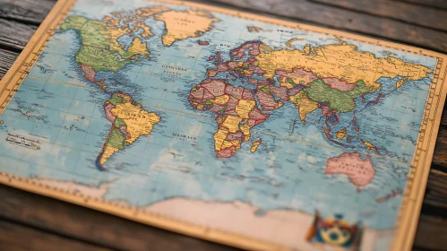
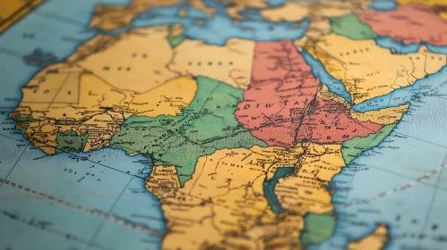
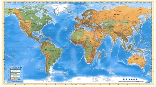
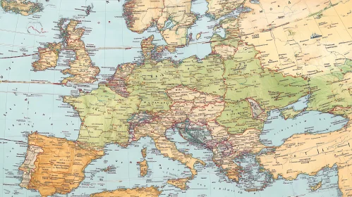
Find Total 109 high quality AI Images Illustrated Middle East Regional Map Europe's Terrain: A Geographical Overview Vintage World Map with Countries Geography Globe on World Map Old World Map Global Landscape: A World of Colors Detailed World Map Puzzle Art International Flags in Winter Scenery Antique Style World Map Detailed North America Map Illustration Vintage Style World Map Art Print Geographic World Map Illustration Antique Style Map of European Countries Global Cartography Art Print Vintage Style World Map Colorful World Map with Countries Colorful World Map Depicting Continents Political World Map Colorful Political World Map Illustration Comprehensive Political World Map Geographic World Map Illustration Flags Portrait: Unity in Diversity Global Cartography: A Colorful World Flags of the World Against Azure Flags of the World Geographic Art of Southeast Asia Graphical Depiction of Global Geography Row of National Flags Under Azure Sky Vintage Style Continental Map Art European Countries and Cities Map Topographic Africa Map Global Map Displaying Countries Diverse Flags Waving Under Sunny Sky Geopolitical World Map with Country Borders Colorful World Map showing Political Boundaries World Map with Countries and Oceans Geographical Map of the World Vintage Political World Map Comprehensive World Map with Political Boundaries Vintage-Style World Map with Geographical Details Antique Styled World Map Showing Global Geography Comprehensive Atlas with Global Geography Comprehensive World Political Map Vintage Detailed World Map on Wooden Background World Map with Country Borders and Geographic Features Vintage World Map Highlighting Countries Classic World Map with Illustrations Antique Styled World Map Featuring Countries and Continents Global Map with Country Names and Continents World Map with Country Borders and Color Differentiation Colorful World Map of Continents and Countries Geographical Map Highlighting African and Middle Eastern Regions Colorful World Map with Geographical and Political Features Comprehensive Geographical World Map Historical Cartographic Representation of Global Geography Comprehensive World Geography Map Antique World Map Featuring Continental and Ocean Labels Comprehensive Political World Map Antique World Map with Country and City Labels World Map with Countries Comprehensive Political Map of the Americas Color-Coded World Map Europe Map with Countries and Cities Europe Political Map with Country Boundaries Geographical World Map with Labels Detailed Antique Map with Africa and Europe Comprehensive World Map Political World Map with Geographic Features Comprehensive World Map with Political Boundaries Old-Style Illustrated Map of the World Comprehensive World Map Comprehensive Map of South American Regions and Countries Comprehensive World Atlas Europe Map Showing Countries and Key Locations Vintage World Map - Detailed Geographical and Political Boundaries Illustrated World Map with Geographic Details Comprehensive World Map with Country Names and Borders Global Political Map Highlighting Countries and Boundaries Detailed Europe Vintage Map World Map with Country Names and Borders Educational World Map Geographical World Map with Country Borders Global Map with Borders and Regions Comprehensive World Map Featuring Continents and Major Nations Geographical World Map with Continents and Oceans Global Political Map with Labeled Countries Colorful World Map Highlighting Countries Geographical Map of the World Comprehensive World Map Showing Countries and Water Bodies Geographical Map of the World World Map Highlighting Political Boundaries Geographical World Map Highlighting Countries in Green Asia Topography and Geography Map Colored World Map With Political Boundaries World Atlas Map with Countries and Cities Classic World Map of Continents and Countries Comprehensive World Map with Country Borders and Capitals North and South America Political Map North and South America Political Map Next page 1 2 of 2