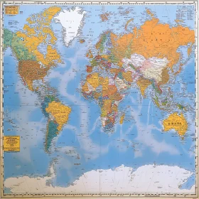
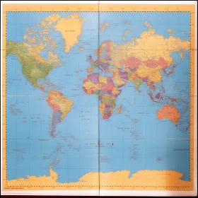
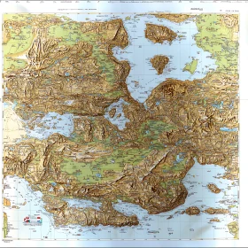
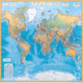
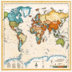
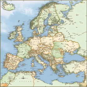
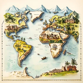
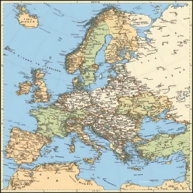
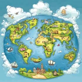
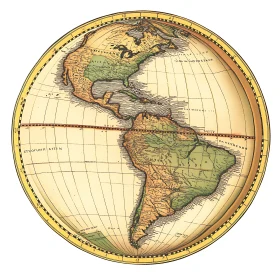
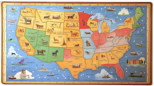
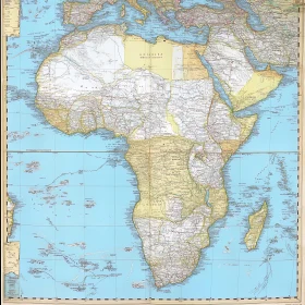
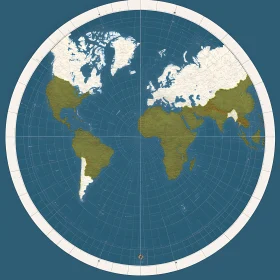
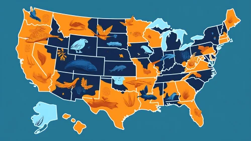
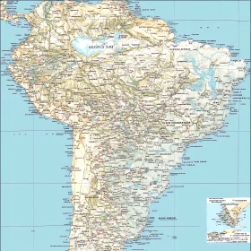
Find Total 781 high quality AI Images Vintage Illustrated World Map Detailed Europe Vintage Map Vintage Ornate World Map Detailed Cartographic Landscape with Mountains and Forests Medieval Fantasy World Map with Intricate Details Antique World Globe Map Art Delicate Marble Globe Craftsmanship Sunrise Over Earth Continent View World Map with Country Names and Borders Geographical World Map with Country Borders Global Map with Borders and Regions Illustrated World Map Featuring Continents and Countries Comprehensive World Map Featuring Continents and Major Nations Geographical World Map with Continents and Oceans Global Political Map with Labeled Countries Colorful World Map Highlighting Countries Geographical Map of the World Vintage World Map with Compass Rose and Legend Nations of the World Map Geographical Map of the World Antique World Map - Detailed Historical Cartography Antique World Map with Detailed Borders and Geographical Features Intricate Global Map with Annotated Geography Comprehensive World Map with Geopolitical Boundaries World Map Highlighting Political Boundaries Geographical World Map Highlighting Countries in Green Antique-style World Map with Decorative Border Detailed Antique World Map on Scroll Historical Cartography of an Ancient Civilization Cartoon-style World Map with Iconic Landmarks Topographical and Political Map of Africa Asia Topography and Geography Map Colorful Antique World Map Depiction USA Map Illustration with State Animals and Landmarks Ancient Cartographic World Map Antique Map of North America with Detailed Illustrations Detailed Topographical Map of North America North America Atlas - Detailed Geography Vintage Americas Map - North and South America North America Physical Terrain Map Topographical Earth Globe Featuring North America North American Relief Map United States Map Featuring Animals and Landmarks Historical Cartography of Ancient World Vibrant Americas Map Illustration Colored World Map With Political Boundaries Intricate and Artistic World Map World Atlas Map with Countries and Cities Classic World Map of Continents and Countries Comprehensive World Map with Country Borders and Capitals American Continents Political Map North and South America Political Map Historic Cartographic Artwork North and South America Political Map Comprehensive African Continent Map Luxurious Golden World Map Abstract Art Colorful World Map Displaying Political Boundaries Vintage World Map Illustration World Map Globe with Golden Base Intricate Globe Design with Detailed Continents North Pole-Centered Azimuthal Equidistant World Map United States Map Featuring State-Specific Animals Historic Vintage Africa Map South American Countries and Geography Map USA Outline Map with State Boundaries Africa Continent Map African Continent Map with Country Borders Topographic Map of African Continent Africa Cartographic Map African Continent Map Africa Political Map with Geographic Landmarks Colorful Earth Drawing Detailed Geographic Elevation Map Abstract World Map with Silhouetted Observer Vintage South American Geography Map South America Geographic and Political Map US Map with Native Animals Topographical Paper Map for Navigation and Travel Comprehensive City Layout Map with Roads and Landmarks Urban Grid and Natural Terrain Map Fictional South American Map Illustration Urban Geography Art Comprehensive Map Covering Geographic and Urban Areas Colorful USA Map with Illustrations Comprehensive Street Map of a Major City US 3D Terrain Map Detailed US Map with Geographical Features Mountain Valley Landscape with River 1 ... 8 of 8